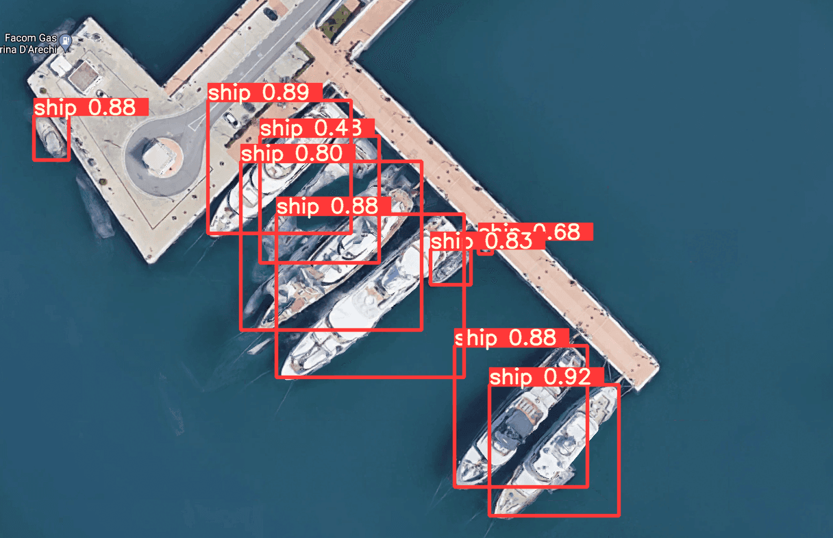
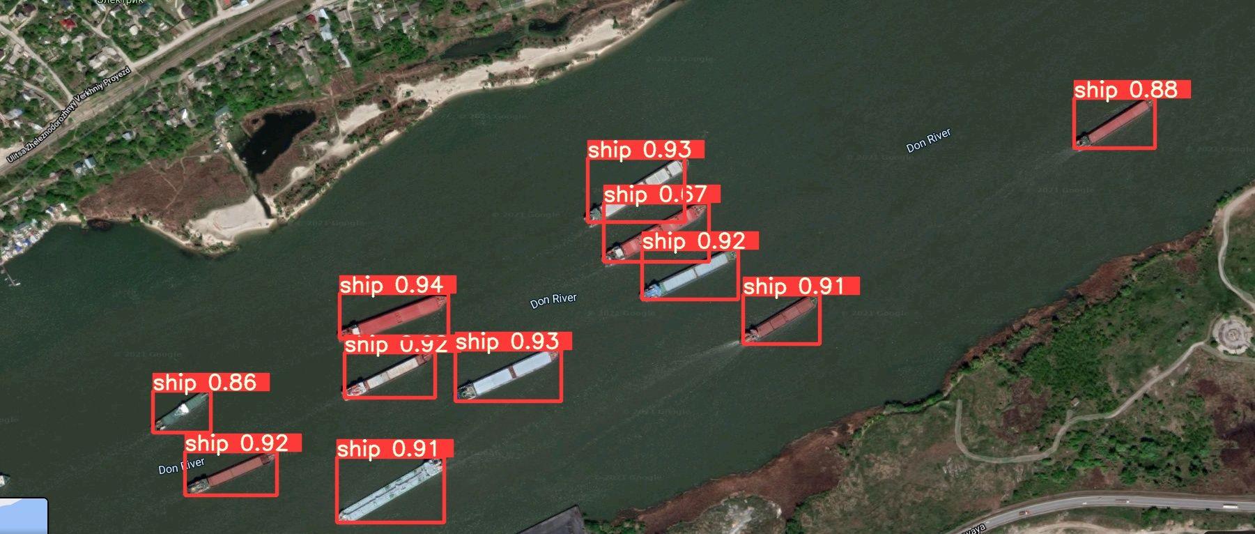
Water transport recognition
The computer vision solution aimed to detect and count all types of yachts, cruisers, boats, canoes, aircraft carriers, etc. on satellite map images.
We have developed a solution to recognize water transport objects on Google and Bing map images.
In the first phase, we prepared a large dataset using a technique of augmentation. After that, we fed the dataset to a neural network model to train it to recognize water vehicles with a high level of accuracy.


Similar Projects
Virtual try-on tool for makeup products
The system consists of a face detection and segmentation model and an algorithm that allows recoloring objects without losing their original texture.
Online sign language interpreter
AI algorithm that converts video of a person using sign language into a text transcript
Workout helper app
Mobile app for the estimation of proper body positions during the workout.